
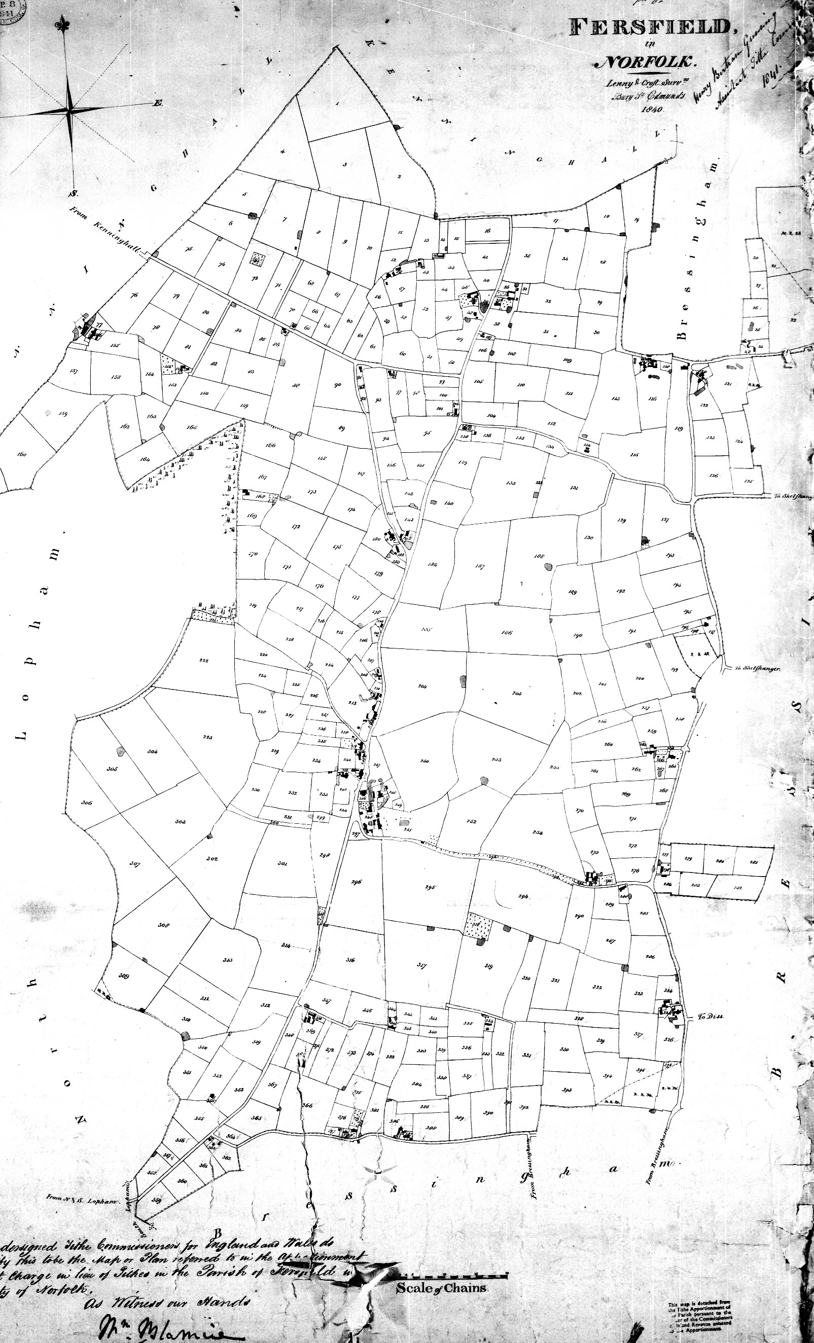
Fersfield Tithe Map of 1839

Fersfield Tithe Map of 1839
Place the mouse cursor over any of the numbered or red dotted places on the map. A tool tip will show the plot number. Click to see the details of that location.
There are two versions of the map; a copy of the original and a simplified outline map.
Notes:
Page last updated: 20 Apr 2024
© Nigel Peacock 2024